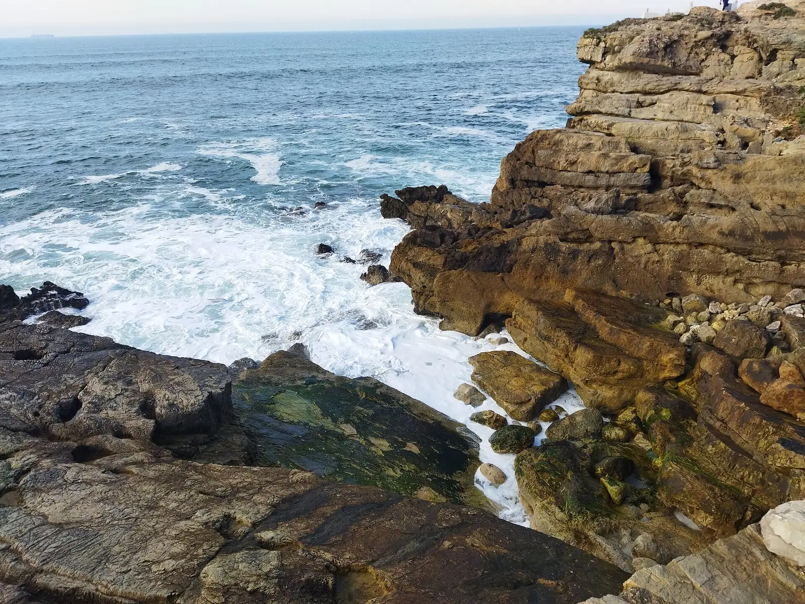
Gijón is lucky: you can set off on foot from the city centre and, in under an hour, be walking along clifftops between meadows, coves and eucalyptus woods. That’s the Cervigón Path (Senda del Cervigón), the municipality’s great coastal walk, running from the church of San Pedro to La Ñora beach. This guide takes you through it section by section using the official figures, with tips on shortening it, getting back, and what the western shoreline offers.
The Cervigón Path in numbers
According to the official Turismo Asturias listing:
- Distance: 10.3 km, one way.
- Time: 3 to 5 hours.
- Type: linear, coastal.
- Difficulty: easy.
- Cumulative ascent: about 268 m up and the same down; highest point around 98 m.
- Waymarking: the whole route coincides with the GR-204 long-distance trail (GR trails are marked with red-and-white stripes).
- Return by train: no.
The route, section by section
1. San Pedro – Cervigón viewpoint (urban). You start by the church of San Pedro, below Cimavilla, and walk the full length of the San Lorenzo promenade, past La Escalerona and several of the promenade’s sculptures. It’s flat, paved and busy. At the end you cross the mouth of the river Piles and reach the Cervigón viewpoint.
2. El Rinconín – La Providencia. After Rinconín Beach and its park, the path starts climbing to the La Providencia viewpoint, one of the finest views of the whole bay, with the city spread out opposite. This is where things change: the town is left behind and the landscape turns wild.
3. La Providencia – Peñarrubia – Serín. The trail skirts cliffs and fields. It passes above Peñarrubia Beach, Gijón’s naturist cove, and continues towards Serín, with small coves below.
4. La Cagonera – Estaño. Wooded stretches alternate with glimpses of the sea. La Cagonera and Estaño are small, rocky coves, nothing like the city beaches.
5. Arriving at La Ñora. The route ends at La Ñora beach, just inside the neighbouring municipality of Villaviciosa, reached down a steep flight of steps through eucalyptus trees. It’s a sandy beach at a river mouth, perfect for a rest before heading back.
Tip: if you only want the best bit, start at La Providencia. You skip the urban stretch and keep the clifftops, which are what make this path special.
Shortening or splitting the walk
The official listing itself suggests starting part-way:
- From La Providencia: the most popular option for a morning walk; go as far as Peñarrubia and back.
- From Estaño: to do just the final stretch to La Ñora.
- Urban only: San Pedro to El Rinconín is a flat seafront promenade, fine for pushchairs and wheelchairs, if you’d rather avoid dirt paths.
Getting back
This is a linear path, so plan your return before you set off:
- On foot, the same way: double the distance, but the views back towards Gijón make up for it.
- Two cars: leave one at the far end.
- By bus: check EMTUSA for a line near where you finish; we haven’t been able to verify a regular service from La Ñora.
Tips and rules
- Footwear: walking or trail shoes; after rain it gets muddy.
- Water and food: beyond El Rinconín there are hardly any facilities.
- Dogs: always on a lead, says Turismo Asturias. Where there’s livestock, keep your distance; if you see mastiffs guarding a herd, don’t disturb or feed them — they’re working. Beach rules in Gijón with dogs.
- Leave no trace: take all your rubbish home, including food scraps.
- Cliffs: stay on the path, keep away from the edge and respect rockfall closures.
- Sunset: the La Providencia stretch is stunning at dusk. More ideas in best sunsets in Gijón.
The western shoreline: Poniente, Arbeyal and Campa Torres
West of the centre, the shoreline is quite different: urban and industrial. From the marina you can follow Poniente beach, carry on to Arbeyal beach and, if you fancy a long walk, climb up to Campa Torres Archaeological Park on Cape Torres, overlooking the port of El Musel. Stage 4 of Turismo Asturias’s lighthouse route links Cape Torres with Cimavilla, Poniente and Arbeyal.
Bear in mind that beyond Arbeyal much of the way runs alongside industrial and port areas, without the natural feel of the Cervigón. We couldn’t verify distances for these stretches from an official source, so plan them with an up-to-date map.
For more outdoor ideas, see our guide to Gijón’s beaches.
Frequently asked questions
How long is the Cervigón Path?
According to Turismo Asturias, 10.3 km one way, from the church of San Pedro to La Ñora beach, with around 268 metres of cumulative ascent.
How long does the Gijón coastal path take?
Between 3 and 5 hours one way, depending on your pace and stops. Starting at La Providencia cuts the time considerably.
Is the Cervigón Path difficult?
It's graded easy, though there are short climbs and descents and a steep staircase at the end, at La Ñora. Anyone used to walking can manage it.
How do I get back from La Ñora?
The path is linear and there's no train back. You can walk back the same way, leave a car at each end, or check whether a bus line passes near La Ñora at the time.
Can I walk the path with my dog?
Yes, but Turismo Asturias asks you to keep dogs on a lead at all times, especially as there's livestock on some stretches. Note that some beaches along the way, such as Peñarrubia, don't allow dogs.
Is there a coastal path west of Gijón?
To the west the shoreline is urban and industrial: you can walk via Poniente and Arbeyal and climb to Campa Torres, but it isn't a continuous natural trail like the Cervigón.
Sources
- Turismo Asturias – Cervigón Path — 28 October 2026
- Turismo Asturias – Lighthouse route, stage 4 — 28 October 2026
- Turismo Asturias – Playa de Peñarrubia — 28 October 2026
- Wikipedia – Campa Torres — 28 October 2026